
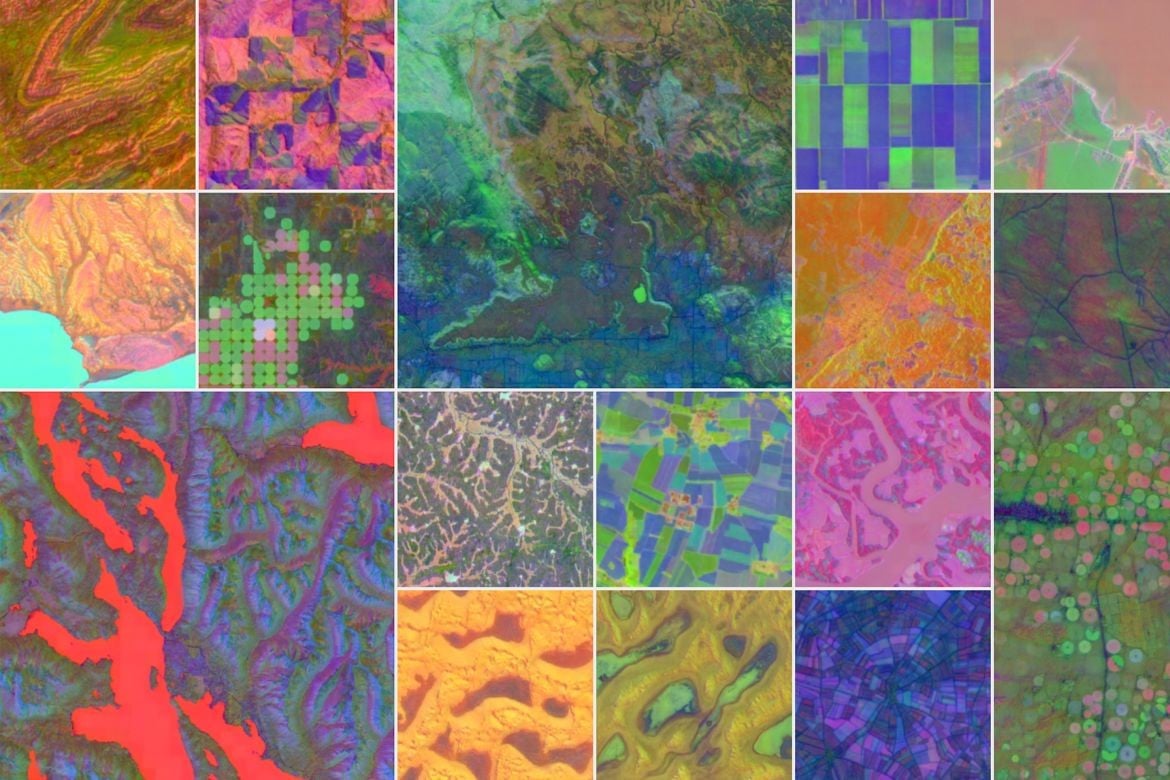
Google DeepMind and Google Earth Engine have released one of the largest publicly available datasets of highly detailed digital representations of Earth’s surface. These representations, called geospatial embeddings, provide consistent summaries of the physical characteristics and environmental conditions for every 10×10 meter area of the planet’s land and coastal waters. To create them, a multimodal AI model processed petabytes of raw Earth observation data, including satellite imagery, radar, 3D elevation scans, and climate simulations. This dataset allows researchers and organizations to efficiently track changes in land use, vegetation, water, and development over time.
Mapping Earth in High Resolution
previous post