
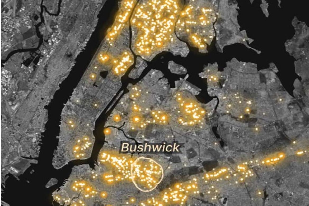
The Pudding has created a visualization mapping where different words appear in the physical landscape of New York City, using data from NYC-based media artist Yufeng Zhao. Zhao fed over 8 million Google Street View images into an AI system that automatically extracted more than 130 million snippets of visible text, from storefronts and street signs to graffiti. The result is a searchable map showing where phrases like “pizza” or “beware” show up on the city’s buildings, sidewalks, and infrastructure, revealing patterns tied to culture, commerce, and community. For instance, the word iglesia (Spanish for church) showed clear clusters in Spanish-speaking neighborhoods like Bushwick and Sunset Park.
Visualizing New York City’s Textscape
previous post