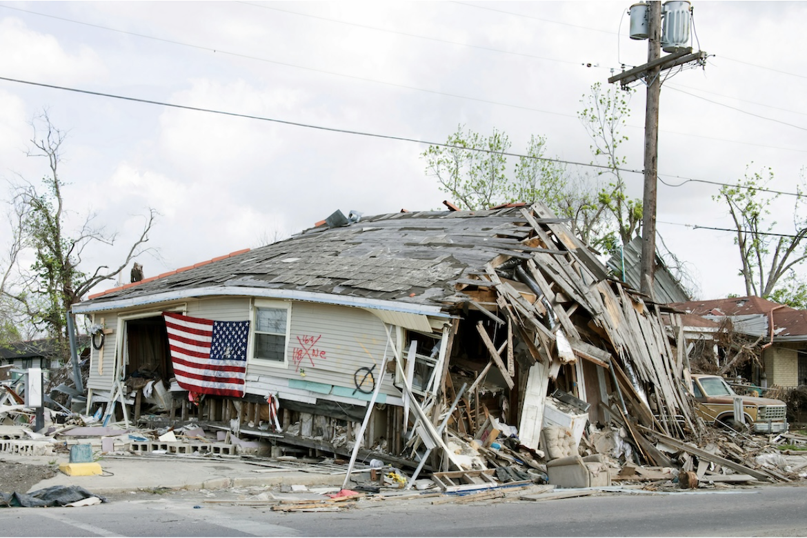
Researchers at Stanford University have created a dataset tracking extreme weather and climate conditions across the United States to help assess how extreme weather threatens U.S. infrastructure. The dataset tracks key variables like temperature, wind gusts, rain and snow, lightning, and wildfires at a high resolution of about fifteen miles, spanning from 1979 through 2023 and makes predictions based on this data through 2100. It combines decades of historical weather observations with projections from multiple climate models to show both past trends and possible future scenarios. By unifying this information into one consistent source, the dataset enables planners and emergency managers to evaluate risks to power grids, transportation systems, and other critical services as weather extremes intensify.
Image Credits: Library of Congress

