
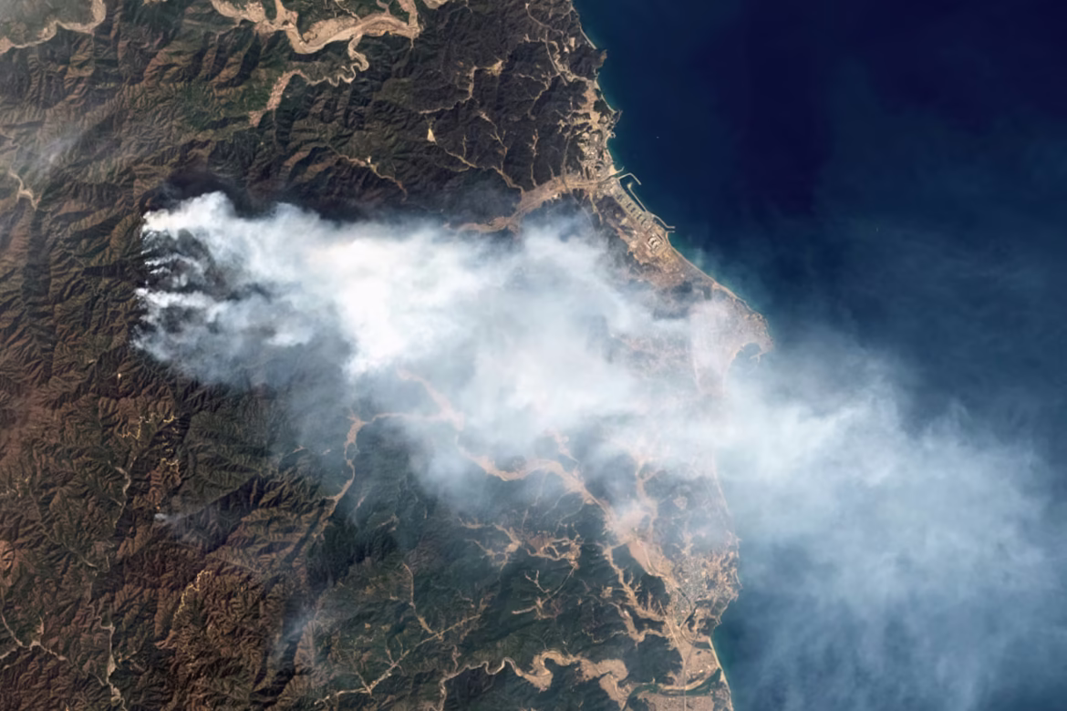
Researchers at IBM Europe and the European Space Agency have released ImpactMesh, a global, open dataset focused on measuring the impact of extreme floods and wildfires. The team collected satellite images from Europe’s Copernicus Sentinel satellites, which regularly observe the same areas using both optical imagery and radar, and paired images taken before and after each disaster. They then added elevation data describing the terrain. Together, these inputs allow researchers to distinguish new flooding from permanent water and fresh burn damage from existing land features. By structuring disaster data this way, ImpactMesh enables AI models to assess real-world damage more reliably and supports faster response and more accurate risk mapping.
Image Credits: USGS