
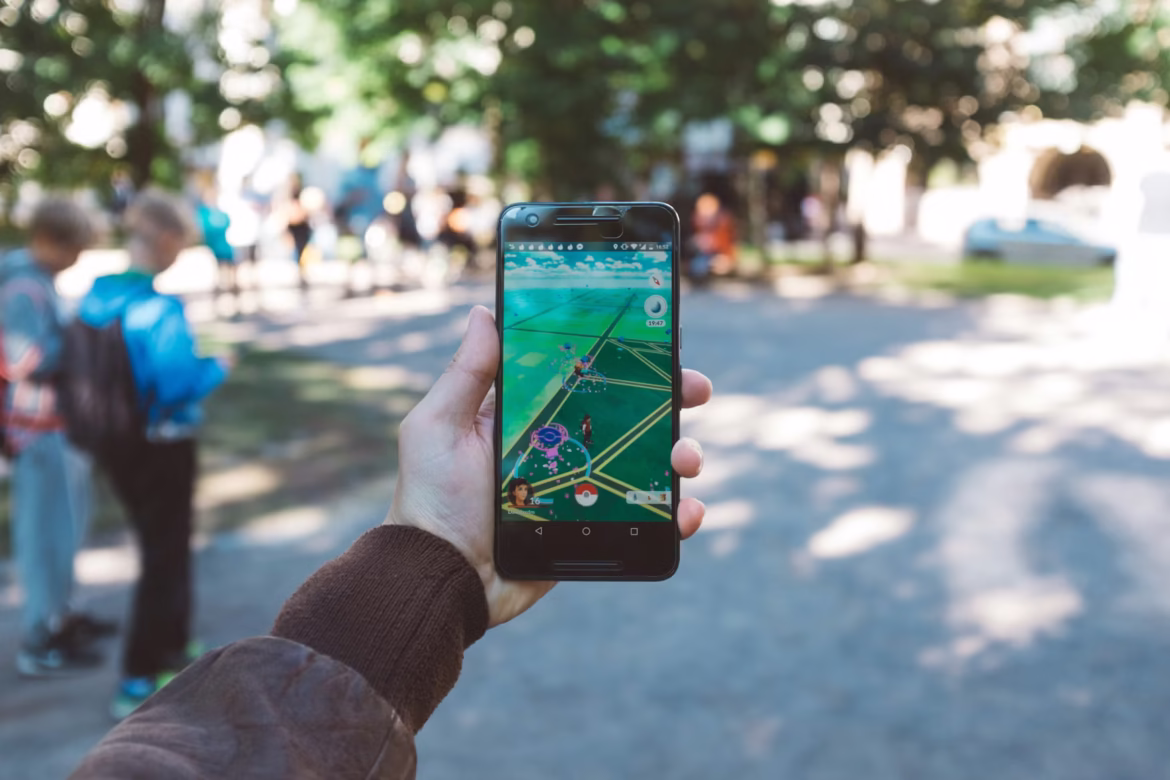
U.S.-based video game company Niantic Inc., best known for creating Pokémon GO, has created a dataset of city streets, landmarks, storefronts, and intersections by collecting 30 billion street-level images over a decade as players snapped photos to catch Pokémon at real-world locations. The dataset contains detailed ground‑level views from nearly every major city worldwide. Niantic is now partnering with Los Angeles-based Coco Robotics to use this dataset to help delivery bots navigate dense urban areas where GPS often fails.
Image Credits: David Grandmougin