
107
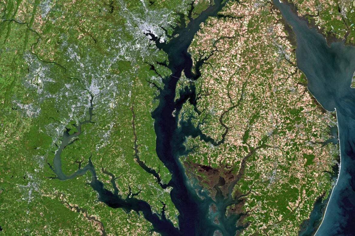
Researchers at the University of William & Mary in Virginia have partnered with NOAA to collect seafloor mapping data during commercial fishing trips and crab-trap removal. The dataset captures millions of depth measurements that map shallow‑water changes and reveal previously unmapped bottom features. NOAA plans to use the data to improve navigation safety, strengthen coastal modeling, and support resilience planning across the Chesapeake Bay.


