
86
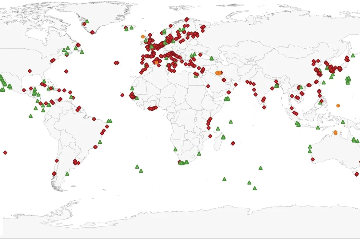
Researchers at the University of Cape Town in South Africa and Durham University in the UK have created a visualization mapping UNESCO World Heritage sites vulnerable to rising seas, flooding, and erosion. The visual shows 1,250 cultural, natural, and mixed sites in low-elevation coastal areas, helping researchers track their exposure to climate risks. Red diamonds mark cultural sites, green triangles mark natural sites, and yellow dots mark mixed sites.


