
7
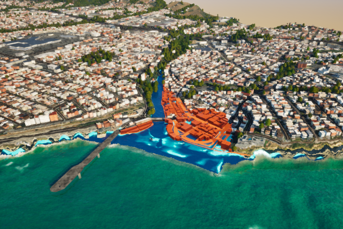
Researchers at the University of California, Santa Cruz, have launched CoSMoS Adapts, a platform that helps coastal communities visualize climate risks and compare protective measures. It combines environmental, economic, and geographic data to model flooding, erosion, and infrastructure damage while assessing solutions such as dunes, wetlands, and seawalls. Interactive maps use darker shades of red to highlight areas facing greater potential damage.


